Geographic Information Systems (GIS)
Comprehensive GIS solutions for spatial data management, converting complex data into visual intelligence.
- Collection of spatial data utilizing raster and vector formats
- Spatial analysis: Autocorrelation, clustering, and hotspot analysis
- Data conversion and coordinate system transformation
- WebGIS implementation for stakeholder collaboration
.jpeg)
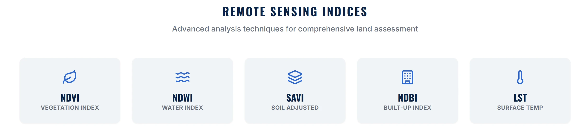
Remote Sensing & Satellite Analysis
Advanced analysis using Landsat 8 and Sentinel imagery to monitor environmental changes and land use.
- Land Use Land Cover (LULC) supervised classification
- Vegetation Health Monitoring (NDVI)
- Urban Sprawl Analysis (NDBI)
- Water Body Identification (NDWI)

Reality Capture & Digital Twins
Creating precise 3D digital replicas of physical assets for BIM integration and facility management.
- High-resolution 3D Laser Scanning (LiDAR)
- Scan-to-BIM modeling (LOD 200 to LOD 500)
- Digital Twin creation for asset management
- Synchronized 3D imagery for virtual walkthroughs

UAV Photogrammetry
Processing aerial drone imagery into orthomosaics and 3D terrain models for large-scale mapping.
- High-resolution Orthomosaic maps
- Digital Elevation Models (DEM/DTM)
- Volumetric calculations for stockpiles
- 3D Point Cloud generation from aerial imagery

Environmental Studies
Using geospatial tools to assess impact on physical, biological, and socio-economic dimensions.
- Air quality and soil integrity analysis
- Biodiversity and habitat mapping
- Flood risk analysis and modeling
- Strategies to mitigate negative environmental impacts